WEATHER
Flood watch in effect for Utah on Tuesday
Oct 1, 2018, 8:29 AM


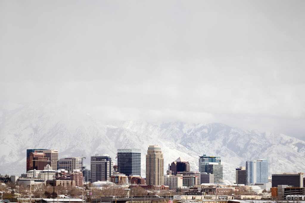
SALT LAKE CITY — After a very dry September, Utah could see a bunch of rain the first week of October, with a flood watch in place for much of the area.
“We need to be prepared for the possibility of heavy rainfall,” said KSL Meteorologist Grant Weyman. “The three areas of concern are burn scars up north, areas with steep terrain, or areas where there’s poor drainage.”
Weyman says it could mean 2 to 4 inches of rain. Most of the rain should come Tuesday.
“It’s a Flood Watch, meaning moisture from Rosa is going to creep into the state tomorrow. Heavy rain is going to be possible beginning tomorrow morning all the way through tomorrow evening,” he said
The National Weather Service of Salt Lake City has this Flash Flood watch from Monday afternoon to Wednesday morning.
Impacts from Hurricane #Rosa will be seen across most of Utah (as well as the Desert Southwest) this week. Here’s what to expect.
Keep up with @NWSNHC @NWSPhoenix @NWSTucson @NWSFlagstaff @NWSVegas @NWSSanDiego @NWSWestern #utwx #utflood pic.twitter.com/RxbmespS6m
— NWS Salt Lake City (@NWSSaltLakeCity) October 1, 2018
Weyman says a Flood Warning is more imminent, meaning the flooding is already occurring. Before it happens it is a Watch.
FLASH FLOOD WATCH FOR UTAH…. This means flooding will be POSSIBLE in some areas tomorrow as storms move in from the south. pic.twitter.com/zQu1xkQCLX
— Grant Weyman (@KSLweyman) October 1, 2018